Industry Solutions
Tailored drone technology solutions designed for your specific industry needs
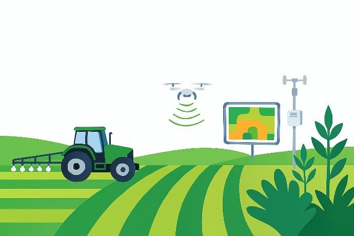

Agriculture
Precision farming solutions for crop monitoring, health assessment and targeted spraying operations.
- Crop Monitoring
- Precision Spraying
- Yield Analysis


Defense & Security
Advanced surveillance and reconnaissance capabilities for security and tactical operations.
- Surveillance
- Reconnaissance
- Perimeter Security


Survey & Mapping
High-precision topographical mapping and construction site monitoring solutions.
- Topographical Mapping
- Construction Monitoring
- Volume Calculations
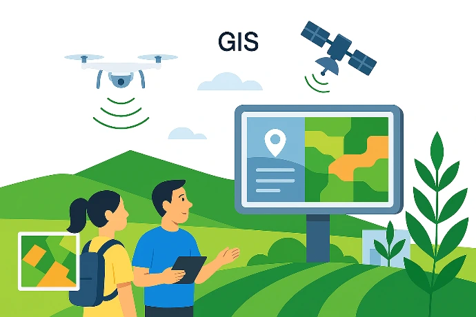

GIS & Aerial Cinematography
Comprehensive GIS integration and 3D modeling for spatial data analysis. Professional-grade aerial photography and videography for commercial, real estate, and event coverage.
- GIS Integration
- 3D Modeling
- Spatial Analysis
200+
Successful Deployments
98%
Successful Deployments
50+
Industry Partnerships
Advanced Drone Capabilities
Cutting-edge technology delivering precision, efficiency and actionable insights

Advanced Imaging Technology
High-resolution sensors capturing detailed aerial data for precise analysis and decision-making across all industries.

Autonomous Flight Systems
AI-powered autonomous navigation with obstacle avoidance and intelligent path planning for safe, efficient operations

Real-Time Data Processing
Edge computing capabilities enabling instant data analysis and actionable insights during flight operations

Enterprise Integration
Seamless integration with existing enterprise systems
Ready to Transform?
Start Your Drone Solution Journey Today
Schedule a consultation with our industry experts to design a customized drone solution that delivers measurable ROI for your organization.
Expert Team
Certified pilots with industry expertise
Proven ROI
Average 45% cost reduction
Compliance
Compliant and fully insured operations
Support
Technical assistance
Build Expertise with Industry-Leading Training
From certification readiness to advanced operations, our comprehensive programs equip individuals and organizations with the skills needed to succeed in the drone industry.
Drone Pilot Training
Comprehensive preparation for commercial drone pilot certification with 98% pass rate
One-Year Post Graduate Diploma in Geoinformatics
Build advanced geospatial expertise and certification-ready drone skills through a year-long, practice-driven program.
Three-Month Certificate Course
A focused program that teaches specific technologies through hands-on training and real-world applications.
One-Month Certificate Course in Geo-Informatics
Upgrade your geo-informatics skills fast with hands-on, real-world training.
Transform Your Business with
Advanced Drone Solutions
Schedule a consultation with our drone technology experts to discover how Eagleshare
can deliver measurable results for your organization

24/7 Support

98% Satisfaction